
WESTPORT — As Hurricane Henri bears down on southwestern Connecticut, the town’s Emergency Management Team is swinging into action.
The storm is expected to hit Westport and the surrounding area overnight, and as of Saturday afternoon, it was forecast to come ashore with tropical storm force.
But the National Weather Service and emergency officials warn the storm could be packing hurricane force winds and rain here if it tracks slightly to the west. A “Hurricane Warning” has already been issued for parts of eastern Connecticut by the NWS.
In a tropical storm, wind gusts range from about 40 to 70 mph, but in a hurricane they are clocked at more than 75 mph.
Rainfall and potential flooding are also more severe during a hurricane, but even the tropical storm status for Westport means there could be up to eight inches of rain over the storm’s duration. A “Storm Surge” warning has also been issued for the town, so shoreline flooding is expected.
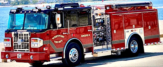
In a statement Saturday afternoon, Deputy Fire Chief Michael Kronick said, “Now is the time to prepare for Henri. Bring in or secure outdoor items and get what you need for the possibility of a power outage. We will continue to provide updates as they are available later this evening.”
The Emergency Management Team offers this advice:
Prepare for possibility of a Category 1 hurricane landfall
Hurricane, tropical storm and storm surge warning are up for the entire state. Henri will likely maintain hurricane strength as it approaches Long Island and Connecticut. Whether it’s a Category 1 hurricane or strong tropical storm, the impact will not change.
What to expect
The outer rain bands of Henri will move in after 3 a.m. Winds will start to pick up after 5 a.m.
It will rain all day Sunday – be prepared for several inches of rain in addition to three- to five-foot storm surge at the shoreline, coupled with an astronomical high tide.
Moderate river and major street flooding expected
Henri is forecast to bring four to eight inches of rainfall to the entire state which may cause moderate to major urban flooding and moderate river and stream flooding Sunday afternoon and evening. Flash flooding is likely along with a three- to five-foot storm surge at the shoreline. High tide hits at 9:30-11:30 a.m.
Moderate to major tree and power line damage possible
Winds may gust to 50 to 70 mph. Gusts could be higher around the eye of the storm, depending on exactly where Henri makes landfall. Since the ground is already so saturated, it won’t take much wind to bring down trees.
Storm preparation
- Residents in flood-prone areas can move their vehicles to Saugatuck Train Station lot #8.
- Get your home ready. Secure (or move inside) outdoor plants, furniture and other loose items.
- Stay informed. Tune into your local radio, town social media, news channels or weather apps/websites for the latest updates. Sign up for NIXLE alerts from the town’s Emergency Operations Center. Text: 06880 to 888 777
- Fuel your vehicle in advance of the storm.
- Be prepared for power outages. Make sure devices are charged in advance.
- Make sure you have extra batteries for flashlights. If you lose power, don’t run generators indoors.
- For more information on storm preparation, see Westport’s “Storm Checklist.”


")


Recent Comments