
By John Schwing
WESTPORT — Temperatures, hovering at or below freezing the last few days, make it feel like winter has arrived in southwestern Connecticut.
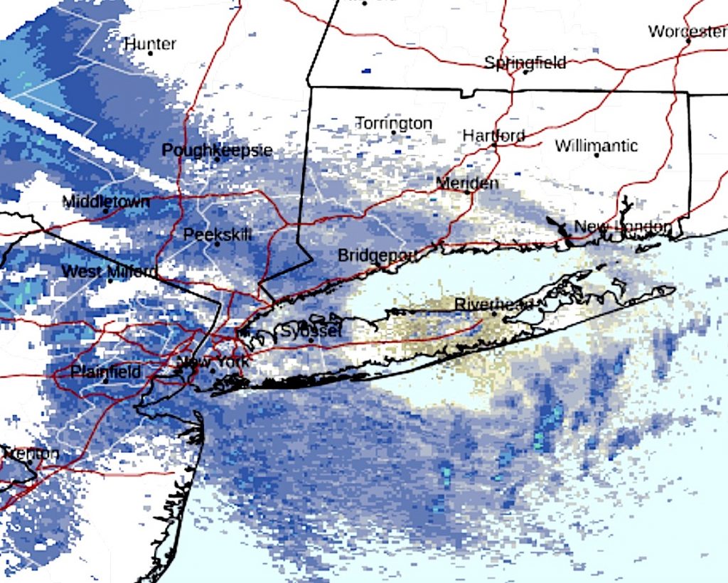
And the region’s first brush with snowfall Sunday could make it look like winter.
Winter, however, does not officially start until Wednesday, Dec. 21.
Nonetheless, the Westport area is expected to get a wintry preview Sunday.
There is a “slight” chance of snow in the morning, changing to rain for much of the rest of the day, as the high temperature rises only into the upper-30s, according to the National Weather Service’s forecast.
Wind chill values are expected to be in the 25-to-30-degree range, as the chance of precipitation during this early period is rated about 70 percent by the NWS,
Later Sunday, the threat of winter-like weather increases.
Rain — possibly mixed with snow — is forecast to start in the evening and continue into early Monday, according to the weather service.
Snow accumulations are expected to be no more than a half-inch, the NWS says.
Temperatures will fall below freezing overnight, with an 80 percent chance of precipitation.
Skies start to clear Monday after a 30 percent chance of snow before 8 a.m. Daytime temperatures are expected to rise to a high of about 40 degrees.
Tuesday and Wednesday should be sunny, with high temperatures in the upper-30s.


Recent Comments