
By John Schwing
WESTPORT — A rain and wind onslaught is forecast to batter the region over the next day, with the threat of flooding through Monday afternoon, according to the National Weather Service.
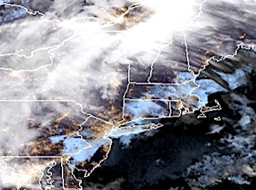
Turbulent weather is being ushered in by a blanket of fog early Sunday as daytime high temperatures rise to about 60 degrees.
Rain, possibly punctuated by thunderstorms, is expected to start falling Sunday by late morning or early afternoon, the NWS predicts.
Rain will gain intensity later Sunday, powered by winds that may periodically may gust as high as 40 mph.
Rainfall, expected to continue overnight and into Monday morning, may total about 3 inches over the course of the storm before clearing from the region late Monday, according to the weather service.
As a result, a “Flood Watch” is in effect for Westport and southwestern Connecticut from 4 p.m. Sunday through 1 p.m. Monday.
The rain and wind are expected to cause “scattered instances of urban and riverine flash flooding are likely,” the NWS warns.
After the storm moves on, skies will start to clear Monday afternoon, with breezy conditions and a daytime high temperature in the mid-40s.
The forecast for Tuesday and Wednesday says that skies should remain mostly sunny, with the temperature registering highs in the mid-40s.
Power disruptions can be reported online at Eversource.com or by calling 800-286-2000. Customers who signed up for the power company’s two-way texting feature can send a text to report an outage and receive outage updates as they happen.


Recent Comments