
By John Schwing
WESTPORT — Three days after the region was warned to batten down for hazardous weather — a forecast that missed the mark — another warning of winter weather mayhem has been issued for Monday and Tuesday.
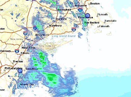
Under a “Hazardous Weather Outlook,” the National Weather Service early Monday is warning about possible coastal flooding that could result from a mix of “heavy” rain and snow both windy days.
The power company Eversoure said it is preparing to respond to “heavy, wet snow and strong winds that are expected to impact Connecticut.”
Rain is expected to begin falling across southwestern Connecticut Monday morning and continue throughout the day as high temperatures are charted in the mid-40s.
Overnight, rain is expected to mix with snow with periods of heavy precipitation, while the temperature drops to the freezing level.
More rain and snow is expected through Tuesday, with possible snowfall accumulation of several inches, the weather service predicts. Wind gusts could be clocked up to 35 mph, and the Fahrenheit will reach a high in the mid-30s.
Mostly snow is forecast Tuesday night, before the storm moves from the region early Wednesday.
Skies on Wednesday will be partly cloudy and breezy, with temperatures in the low-40s.
Power outages can be reported online at Eversource.com or by calling 800-286-2000. Customers who signed up for the power company’s two-way texting feature can send a text to report an outage and receive outage updates as they happen.
John Schwing, the Westport Journal consulting editor, has held senior editorial and writing posts at southwestern Connecticut media outlets for four decades. Learn more about us here.







Recent Comments